Sort by

Newest

Oldest

Popular

Add Data Plotly Graphs to the QGIS Print Layout
00:04:34
Use Jupyter Lab in your QGIS Python Environment
00:02:50
Derive Urban Footprint with QGIS
00:12:12
Calculate Subcatchment Properties in QGIS
00:18:02
Adding Raster Attribute Tables to Rasters in QGIS (update 2025)
00:04:32
Deep Learning in QGIS with the Deepness Plugin
00:05:01
Exploring the Kue Plugin: An AI Chatbot for QGIS
00:10:37
Segment Anything in QGIS with the Geo-SAM Plugin
00:13:58
Catchment Morphometric Analysis in QGIS with the ArcGeek Calculator Plugin
00:08:04
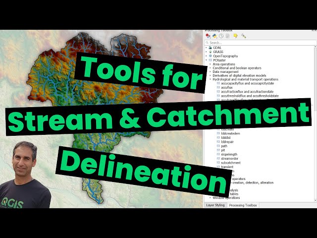
Tools for Stream and Catchment Delineation with QGIS
00:19:24
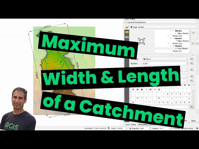
Calculate Maximum Width and Length of a Catchment in QGIS
00:03:18
The QGIS GeoParquet Downloader Plugin
00:06:01
Submit Graphical Models to the QGIS Model Hub and use them in QGIS
00:04:52
Linear Referencing of Distances along a Line in QGIS
00:02:14
Using the Vertical Controller to Visualise Wind Data in QGIS
00:04:40
Animate Temporal Rasters in QGIS
00:05:19
Felt for Storytelling in the Classroom
00:09:19
Storytelling with Interactive 3D Presentations using Cesium Stories
00:06:23
Quick Flood Analysis with QGIS
00:16:47
Calculate Areas and Building Densities of Neighbourhoods using QGIS
00:10:08
Study Urban Landscapes with Spatial Metrics using the LecoS plugin in QGIS
00:11:23
Checking out the Bunting Labs AI Vectorizer Plugin for QGIS
00:09:50
Download SRTM DEM Tiles with the SRTM Downloader Plugin in QGIS (update 2024)
00:02:42
Delineate Streams and Catchments Super Fast with HatariUtils' Online App
00:08:29
Use QGIS to Delineate Catchments of Streams Flowing into a Lake
00:07:07
Challenges with Stream and Catchment Delineation in QGIS?
00:12:25
Install the QGIS Semi Automatic Classification Plugin with the OSGeo4W Network Installer
00:05:57
Position Tracking in Mergin Maps
00:11:34
3D Tiles and Cesium Ion Plugin in QGIS
00:10:33
Calculate the Stream Power Index and Sediment Transport Index with PCRaster Tools in QGIS
00:11:20